


Natural signs
31st May 2021
In the quiet hours on the beach, reading the signs of the sea, the fauna and the sky can make nature your ally.
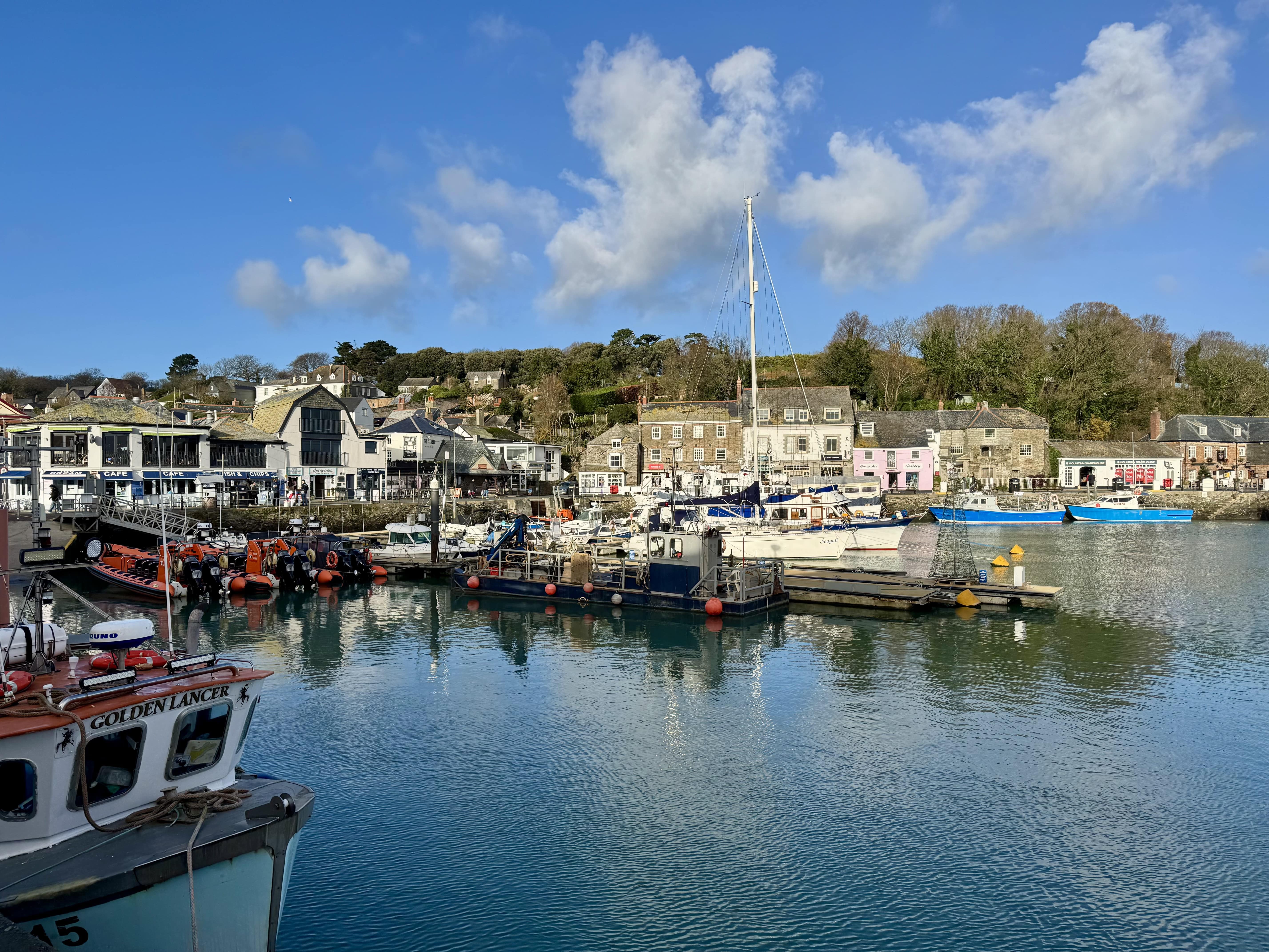
It’s early morning, you’re up, and first to the beach. When you get there, you realise, you’ve forgotten to check the tides. Is the sea coming in or going out? How can you tell? One answer is to watch the birds.
Look at the sand around the tideline. If there are gulls, dippers and oystercatchers pecking around, odds are you’re looking at a falling tide. Lugworms, molluscs and other burrowing critters come up to feed as the tide recedes, and the seabirds are taking advantage of an easy feast.
Visiting Cornwall with an electric car? Check out our holiday lets with electric car (EV) charging points.
Reading the land (and sea)
If you know what to look out for, Cornwall’s coast is full of fascinating little clues like this. With a little knowledge, it’s possible to decipher everything from sea conditions to the weather forecast.
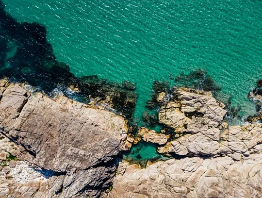
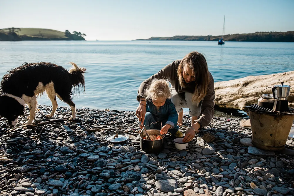
“Everyone comes to Cornwall to enjoy the view, but often they don’t look at the story behind the scenery,” says Hetty Wildblood, a kayaking guide who runs expeditions along the Helford River and around St Agnes. “It’s a skill you have to practise. But there’s so much information if you know where to look: geology, industry, biology, natural history.
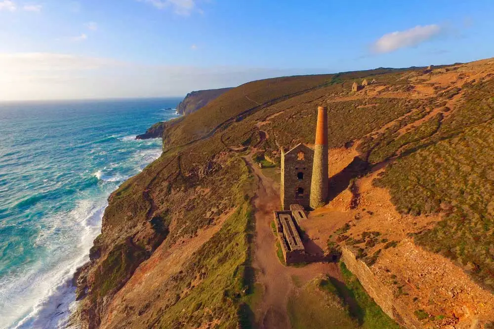
“One example I often use is the cliff colours around St Agnes; all those vivid oranges, browns and reds. They’re caused by mineral deposits, especially from heavy metals like iron and tin – a visible reminder of the mining riches that once sustained Cornwall.”
Check out more of our locations and explore our St Agnes holiday cottages.
Dunes (or towans, as they’re known here) are a common feature of many Cornish beaches. They’re an important coastal habitat – but they’re also weather vanes.
“So if you want to be sure of keeping your feet dry, pitch your blanket higher than the second, rather than the first, strandline.”
Dunes form perpendicular to the prevailing onshore wind, and their presence indicates a strong, persistent breeze: the greater the dunes, the greater and gustier the winds. The dunes can also tell you about the direction of the prevailing wind; the slope on the windward side will be shallower and easier to walk on, while the sand on the ‘slip’ side will be steep, softer and more unstable.
Prince of tides
You’re out on a brisk morning walk and it’s time to sit down to brew a morning coffee. How do you know where to pitch your picnic blanket?
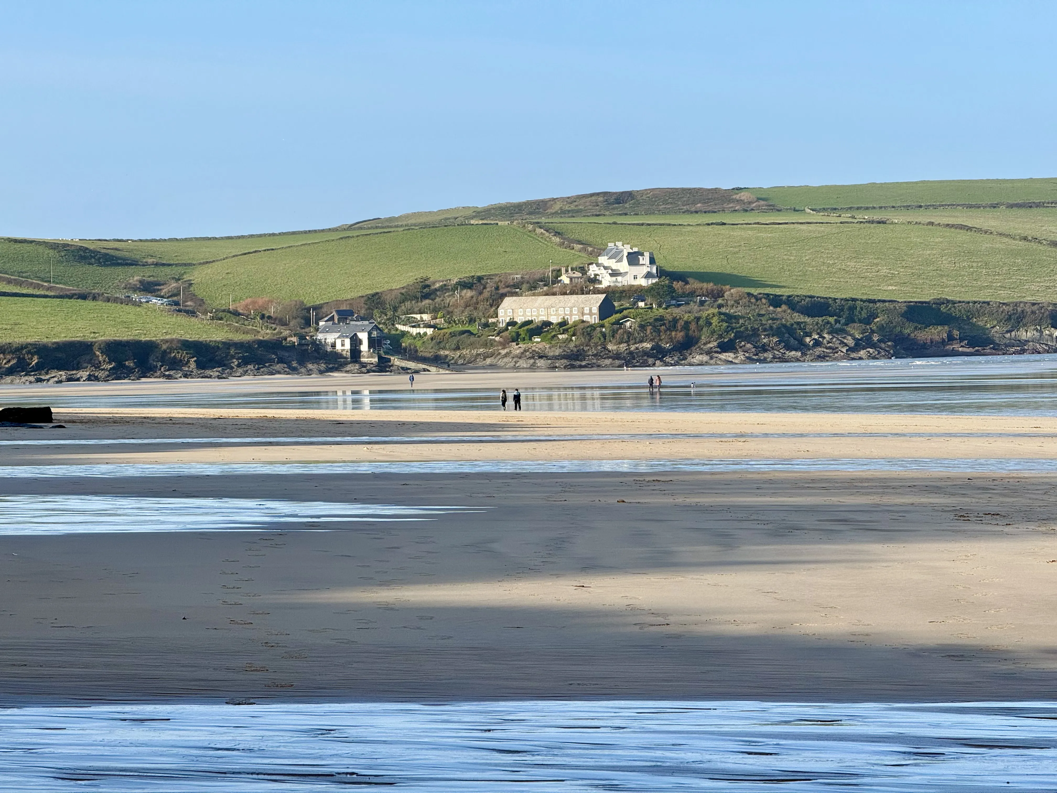
Strandlines – the line of seaweed and ocean debris left behind by tides – are your friend here. There are usually at least two strandlines on most beaches. The one nearest to the sea marks the high point reached by the most recent tide. The second one, higher up the beach, marks the point reached during the last spring tide (sometimes, there’s also a third line, even further up the beach: this indicates the extent of the last storm surge).
So if you want to be sure of keeping your feet dry, pitch your blanket higher than the second, rather than the first, strandline; that way, even if you’re visiting on a spring tide, the water won’t reach you (unless you’ve decided to picnic in the teeth of an Atlantic storm, that is).
Another useful way of determining tidal range is to look at the rocks near the sea. Lichen grows in bands of colour; black at the bottom, orange or red in the middle, grey-green at the top. Only the black lichen is happy to grow underwater, so it’s also a natural signpost that indicates the high water mark.
Moon movements
How about the phenomenon of spring and neap tides? Contrary to what many people believe, spring tides actually have nothing to do with the season of spring: they refer to the extra ‘spring’ in the sea’s tidal range, which can be more than 20% above and below the average.
“If you’re close to a new moon or a full moon, you know the tide will be both lower and higher than usual.”
Spring tides occur twice a month (throughout summer, autumn and winter too!). They are caused by the extra gravitational pull that occurs when the sun and moon both line up with the earth – a phenomenon called syzygy. This happens at new moon (when the moon moves between the sun and the earth) and full moon (when the moon is on the opposite side of the earth). Neap tides occur (approximately) seven days either side.
So if you want to know what the tide is up to, have a look at the sky at night. If you’re close to a new moon or a full moon, you know the tide will be both lower and higher than usual. Since much more of the coastline is revealed during spring tides, you’ll also know that it’s the best time for a spot of rock-pooling or a long beach walk the next day.
Whither the weather
“I think it’s so important for people to learn these skills,” says Matt Slater, a marine biologist for the Cornwall Wildlife Trust. “Understanding the weather and the tides isn’t just useful, it makes your time on the beach safer, and more fun.
“One example I always give is that if you want to go snorkelling, go at low tide when the wind is blowing offshore. That way, you’ll be able to get down there and have a good look at the sea-bed. Likewise, if you want to go paddleboarding or kayaking safely, pick a beach where the wind is blowing onshore (towards the land); otherwise there’s a chance you’ll get blown out to sea. It seems obvious, but you’d be amazed by how few people understand it.”
“Mackerel sky, mackerel sky; never long wet, never long dry.”
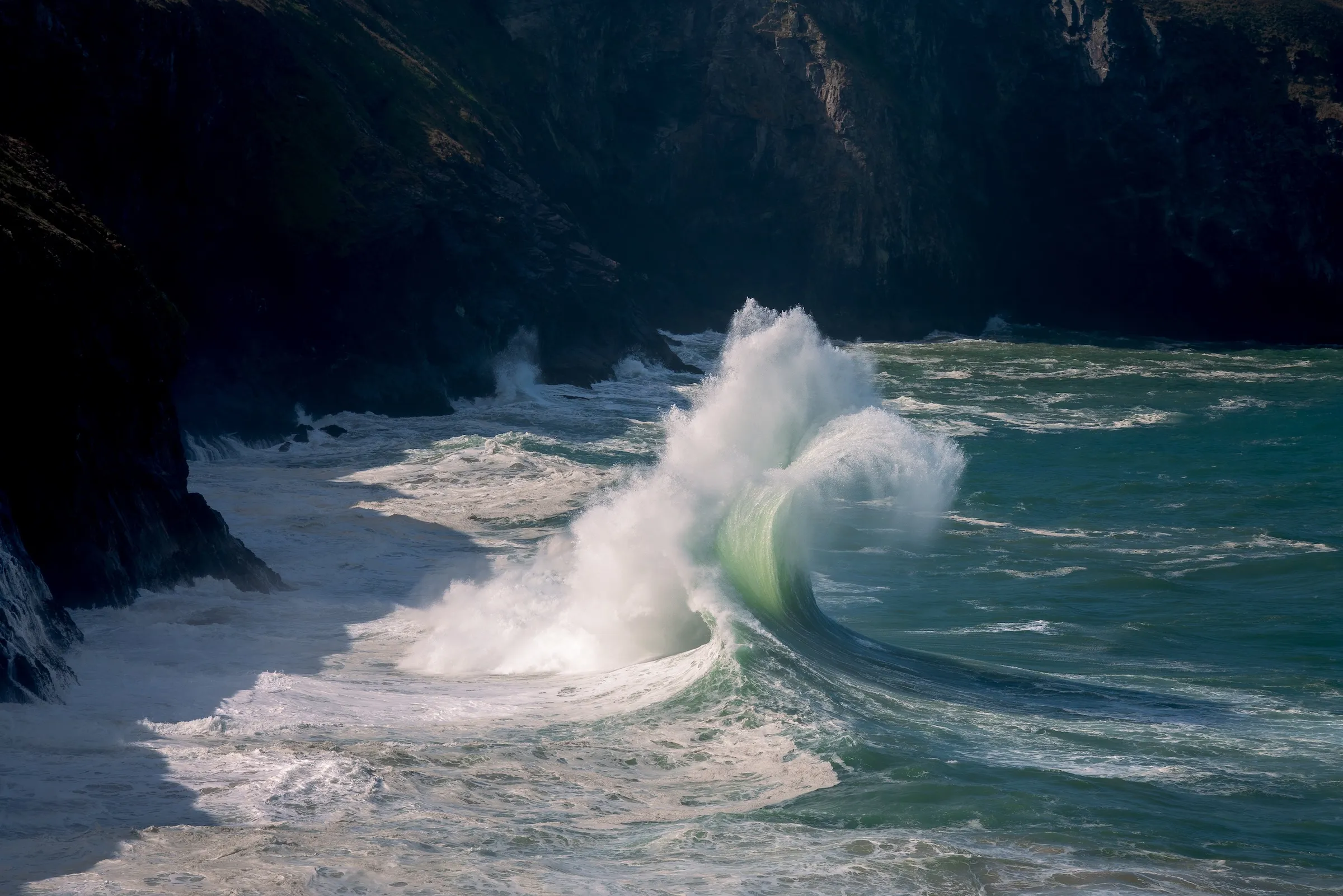
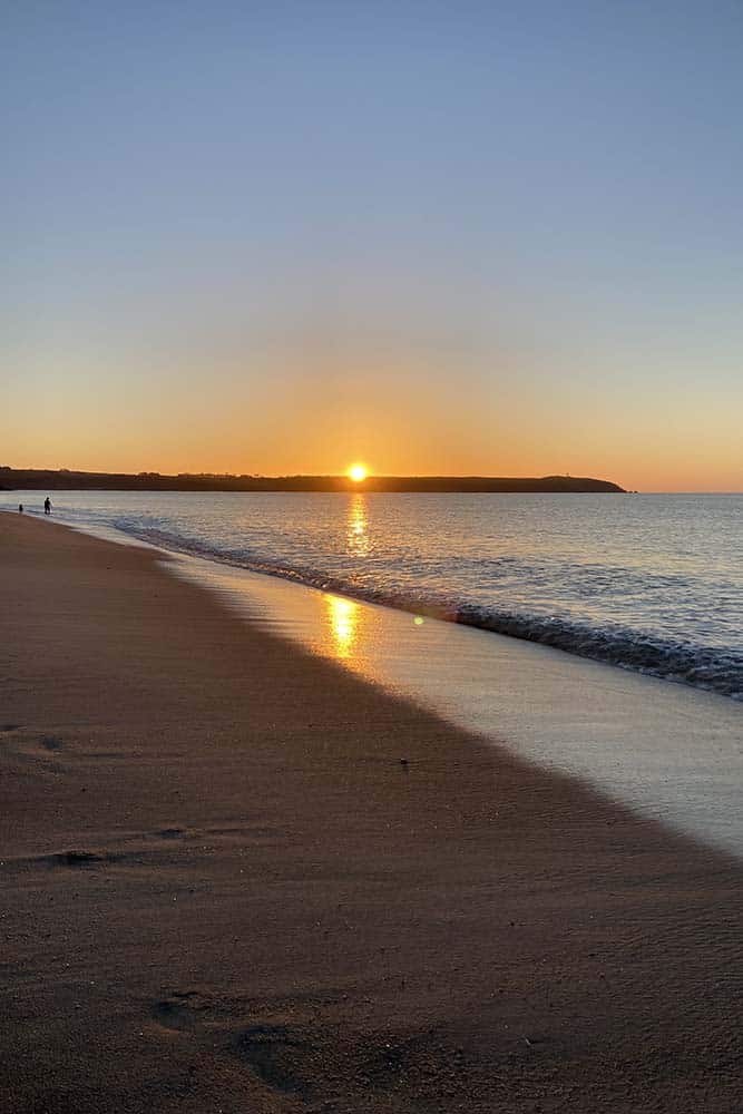
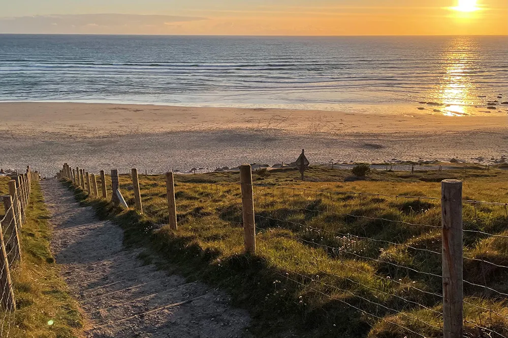
Another useful clue about sea conditions is given by the glitter path – the line of light cast by the sun on the water. If the sea’s really calm, the glitter path will be narrow (no broader than the sun is wide). But when the sea’s rough, the high, choppy waves reflect more light, causing the glitter path to spread out and become more triangular.
If you’re deciding how to spend your beach hours for the day, the calmest conditions for swimming and paddleboarding will be the days when the dawn sun is lighting a narrow glitter path.
Signals in the sky
Seabirds also foretell what the weather has in store. If they’re flying inland in numbers, chances are there’s bad weather brewing out to sea; if they’re heading in the opposite direction, it’s a sign of more settled conditions.
But for the clearest weather forecast, turn your eyes to the sky. “Red sky in the morning, sailor’s warning; red sky at night, sailor’s delight” chimes the old adage – and surprisingly, more often than not, it’s true.
Red skies at dawn are caused by light bouncing off high cirrus clouds, often an indication of an approaching weather front. Red skies at sunset usually indicate clear skies in the west; and since the UK’s weather systems generally move in from the Atlantic, a scarlet sunset is a good bet for fine weather tomorrow.
Lastly, there’s that most Cornish of cloud systems – a mackerel sky, in which bands of clouds run across the sky like the markings on a mackerel’s back. Here, another old saying comes in handy: “Mackerel sky, mackerel sky; never long wet, never long dry.” The pattern is usually caused by cirrocumulus clouds, which appear at the edge of weather fronts – meaning change is on the way.
So if it’s sunny now, the sudden appearance of a mackerel sky might mean it’s a good time to pack up and head for shelter. But if it’s raining where you are now, and a mackerel sky materialises, then you might be in luck – that dinner on the beach you’ve been hoping for may still be on the cards.
Discover more of Cornwall with our favourite places to watch the ocean and go sea spotting.
Find out more with: